Home / Random photos 15

 IMG 0607
 IMG 0630
 IMG 2291
 IMG 2251
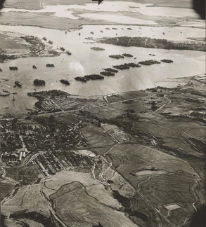 ark 70111 1x37.0
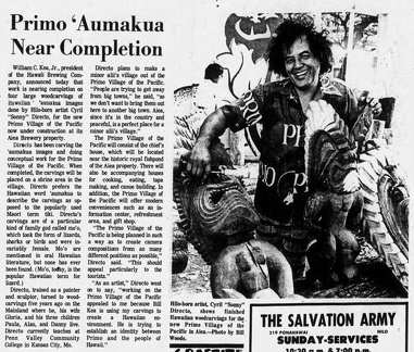 "Primo ʻAumakua New Completion," Hawaii Tribune-Herald, August 25, 1972, page 14
 Newspaper clipping about the preservation of Kukaniloko (March 10, 1911)
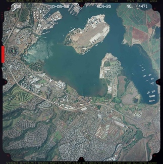 2087
2087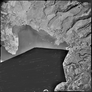 4442
4442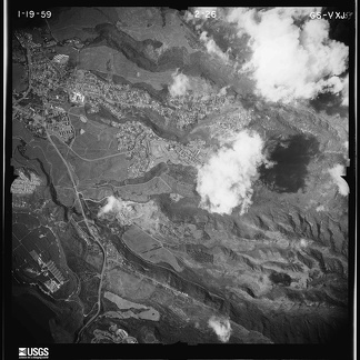 2499
2499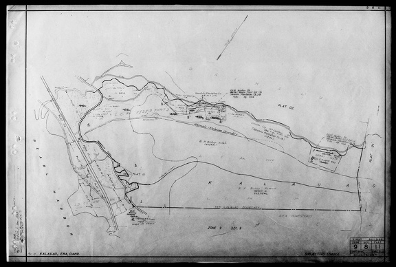 Department of Taxation Tax Maps Branch - Cancelled Tax Map Prints 1932-1969 Reel 27 - Page 177
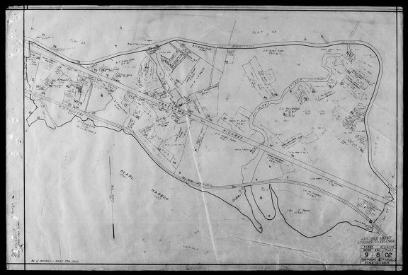 Department of Taxation Tax Maps Branch - Cancelled Tax Map Prints 1932-1969 Reel 27 - Page 80
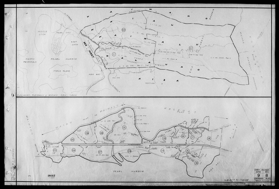 Department of Taxation Tax Maps Branch - Cancelled Tax Map Prints 1932-1969 Reel 27 - Page 60
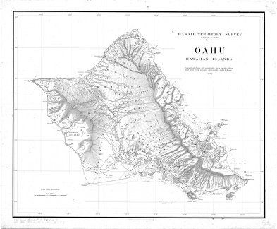 Registered Map 2374: Oahu (1902)
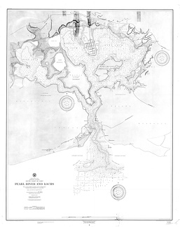 Registered Map 2103: Pearl River and Lochs (1899)